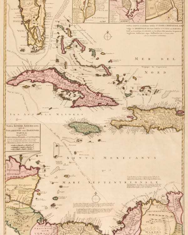
Reiner & Joshua Ottens, Amsterdam, 1740Caribbean / Florida / Bahamas
Nova Tabula Exhibens Insulas Cubam et Hispaniolam vulgo S. Domingo Dictam Insulas Lucaias seu Bahamanas ac Peninsulam Floridae
A lovely large (39 × 27) double plate map of the Caribbean with the Bahama Islands and Florida. Published in Amsterdam in 1740 by Reiner and Joshua Ottens. All original color with full margins on laid paper. The second plate: Nova Isthmi Americani qui et Panamiensis item Dariensis Tabula in qua Urbes Porto Beelo, Panama et Carthagena. Note: I love how Florida is illustrated as being a series of smaller islands. DM for price or contact me for more information.
Condition: Excellent